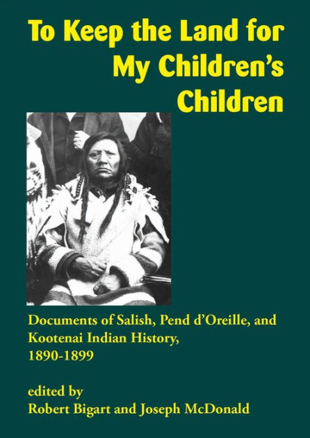
To Keep the Land for My Children's Children: Documents of Salish, Pend d'Oreille, and Kootenai Indian History, 1890–1899
To Keep the Land for My Children’s Children is a collection of primary documents about the Salish and Kootenai tribes of the Flathead Indian Reservation in western Montana between 1890 and 1899. The 1890s witnessed the heartbreaking climax of the struggle of Chief Charlo and the Salish Indians to develop a self-supporting community in the Bitterroot Valley. The period also saw the doleful impact of a biased white-controlled justice system and predatory economic interests in western Montana.
Four Indians were hung for murder in Missoula in 1890, but whites who murdered Indians escaped punishment. In the 1890s tribal leaders labored to hold the agency-controlled Indian police and Indian court accountable. Serious crimes were tried in off-reservation courts with varying degrees of justice.
In the early part of the decade government agent Peter Ronan and Kootenai leaders tried and failed to protect Kootenai farmers just north of the reservation boundary. A predacious Missoula County government developed new and novel legal theories to justify collecting county taxes from the “mixed blood” people on the reservations. Duncan McDonald and Charles Allard Sr. ran a hotel and a stage line on the reserve. Sources describe a community that actively looked out for its interests and fought to protect tribal independence and assets.
Paperback. 2020. Bigart, Robert.