FREQUENTLY ASKED QUESTIONS:
Is Tribal Nations Maps a Native American-owned business?
-Yes. Owned by members of the Choctaw Nation of Oklahoma.
Why are the Tribal Nations Maps unique?
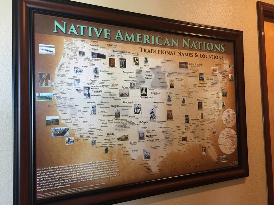
- These maps are the most comprehensive in existence, with the most amount of Tribes placed on them. They are also distinguished from other maps because they display the traditional names that Tribal Nations call themselves, in their own languages, with common tribal names as well. There are roughly 3,000 tribal names represented across the Western Hemisphere in my maps.
How were these maps created?
-I have traveled in person to roughly 300 Native communities in the US, Canada, Mexico and the Caribbean, visiting elders, museums, cultural departments and historic sites in my quest to show a Native perspective. I contacted cultural departments by phone and in writing as well, and use other references such as books, historic charts and other tribal sources for documentation purposes.
How many variations of these maps are there?
-For most of my maps there are 4 versions available: 1) traditional names only without modern state or country borders , 2) traditional names only with modern borders , 3) traditional and common names without borders and 4) traditional and common names with borders. For some maps-such as the American Indian Reservations map, these options do not pertain.
What is the quality of these maps like?
-There are 3 material options for these maps: posters, laminated posters and art canvases. The posters are printed on 90-lb heavy-stock poster paper, using fade-resistant coloring. The art canvas is 1/4-inch canvas foam material. Because of the high-quality material used, your map will last for a long time.
How much is shipping?
-Shipping is $15 and higher within the United States. Outside of the United States is $25 and higher.
