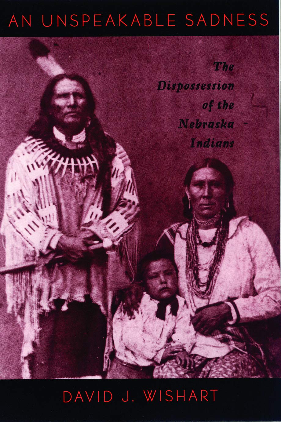
An Unspeakable Sadness: The Dispossession of the Nebraska Indians
Of all the interactions between American Indians and Euro-Americans, none was as fundamental as the acquisition of the indigenous peoples' lands. To Euro-Americans this takeover of lands was seen as a natural right, an evolution to a higher use; to American Indians the loss of homelands was a tragedy involving also a loss of subsistence, a loss of history, and a loss of identity. Historical geographer David J. Wishart tells the story of the dispossession process as it affected the Nebraska Indians-Otoe-Missouria, Ponca, Omaha, and Pawnee-over the course of the nineteenth century. Working from primary documents, and including American Indian voices, Wishart analyzes the spatial and ecological repercussions of dispossession. Maps give the spatial context of dispossession, showing how Indian societies were restricted to ever smaller territories where American policies of social control were applied with increasing intensity. Graphs of population loss serve as reference lines for the narrative, charting the declining standards of living over the century of dispossession. Care is taken to support conclusions with empirical evidence, including, for example, specific details of how much the Indians were paid for their lands. The story is told in a language that is free from jargon and is accessible to a general audience. Paperback. 1997.